
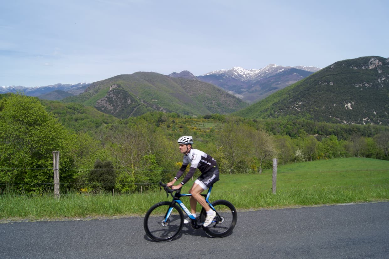
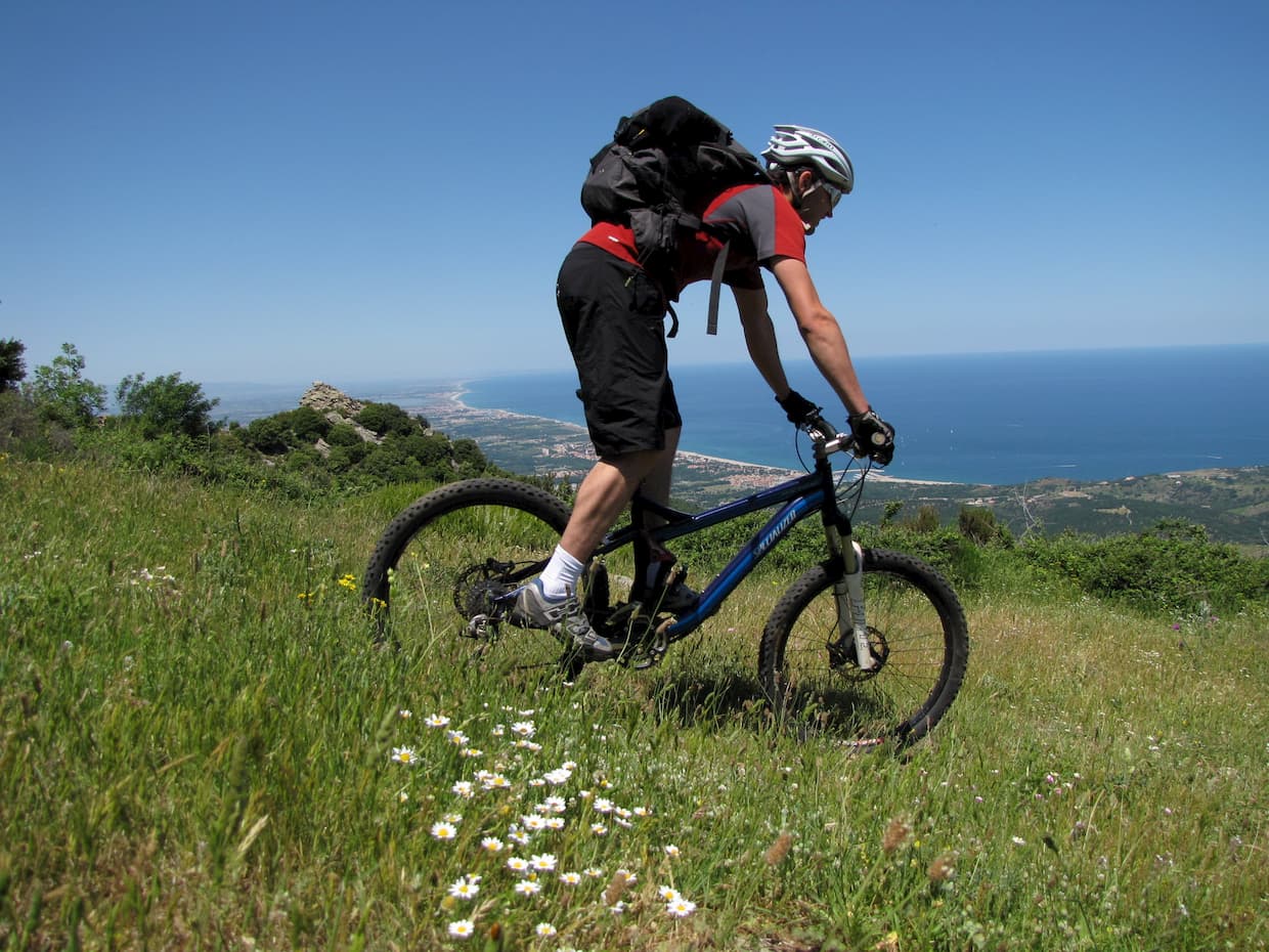
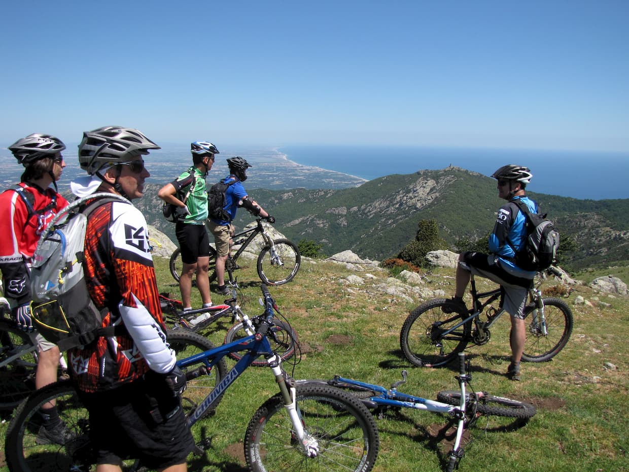
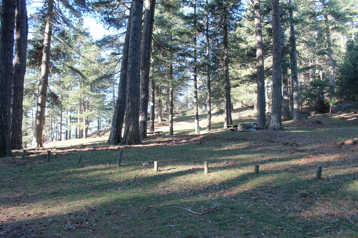
Cyclosport area
Have fun on our bike routes!
The Vallespir is suitable for the practice of road cycling and it has obtained, since February 2020, just like the communities of neighboring municipalities "Albères / Côte Vermeille / Illibéris", "Aspres / Thuir", "Haut Vallespir" the label "cyclosport area"Pyrénées Méditerranée from the French Cycling Federation.
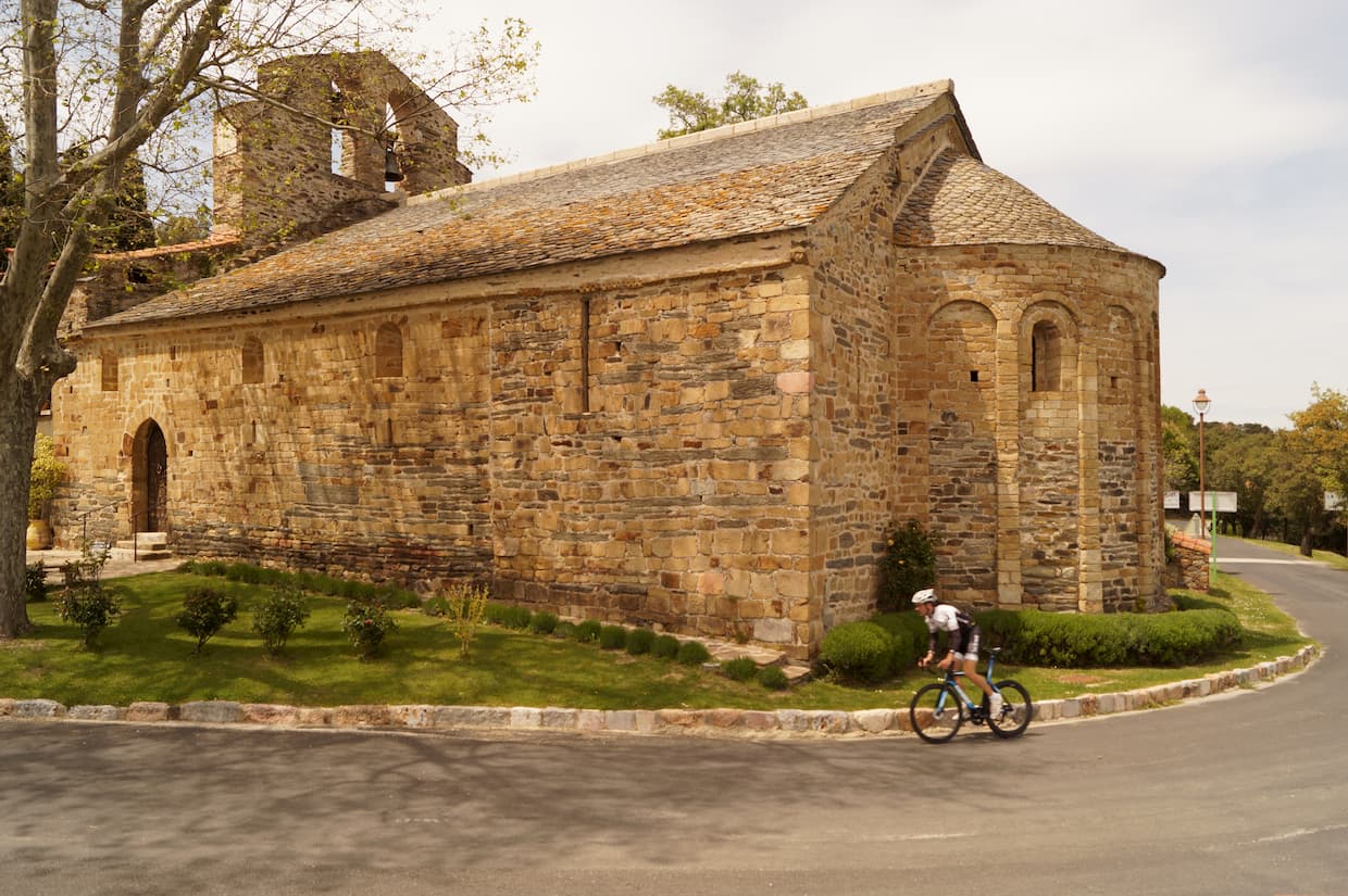
The proposed routes are adapted to the level of practitioners, from beginners to high-level cyclists, and pass through various municipalities presenting a point of interest to allow you to discover their heritage, quality of life, hospitality, etc.
On the scale of the Mediterranean Pyrenees Country, there are more than 20 itineraries!
✅ 20 road bike routes classified by difficulty
✅ Labeled by the French Cycling Federation
✅ The largest of the Pyrenees with 1,420 km of circuits
✅ The 1st of the Pyrénées-Orientales department
✅ 13 passes to climb
✅ 14 reception points for information
✅ 20 gpx tracks downloadable online
✅ A dedicated map and app to prepare for your outings
Espace Cyclosport Pays Pyrénées Méditerranée Map


This map is available in the tourist offices of the territory
Interactive map of routes developed by the Community of Municipalities of Vallespir!
https://cchv-ccv.maps.arcgis.com/apps/webappviewer/index.html?id=0d5855885aad4939b7e8a93f9df5f1c0
GPX tracks
Click on the following link to download the GPX tracks for these routes:
https://cyclosport.ffc.fr/espaces/pyrenees-mediterannee/
Explore the routes of the Mediterranean Pyrenees Country
 |
- Les Hauts de Palalda, 24 km and 320 m of elevation gain Départure : Centre Pleine Nature Sud Canigo Difficulty : ****** This family walk first takes a section of the Greenway before reaching the subdued vault of holm oaks and other chestnut trees that adorn the heights of Palalda, a former stronghold of the Roman world. |
|
- La Ronde des Aspres, 58 km et 850 m of elevation gain Here is an initial warm-up along the banks of the Tech, before climbing in successive stages to reach the Col du Fourtou, then the Col Xatard. A beautiful trip with relief, in a wild setting barely disturbed by the few cars crossed ... |
 |
 |
- The southernmost road in France (cyclo-sport version), 67 km et 1390 m of elevation gain Our territory hosts the southernmost fringe of France. Take the opportunity to discover this route "from the end of France" which strolls to the pleasant terminus of Lamanère, here in its version stamped Cyclo-Sport. |
|
- La boucle des 2 Catalognes, 89 km et 1475m of elevation gain, .As its title suggests, we cross the Pyrenees to survey an anthology of small winding roads on the southern Catalonia side. The Col de Coustouges makes it possible to cross the border again and to switch in a long descent in front of the carousel of the peaks of Canigo. |
 |
 |
- The southernmost road in France (cyclo-sport version), 90km et 1870m of elevation gain, Our territory hosts the southernmost fringe of France. Take the opportunity to discover this route "from the end of France" which strolls to the pleasant terminus of Lamanère, here in its version stamped Cyclo-Sport. |
|
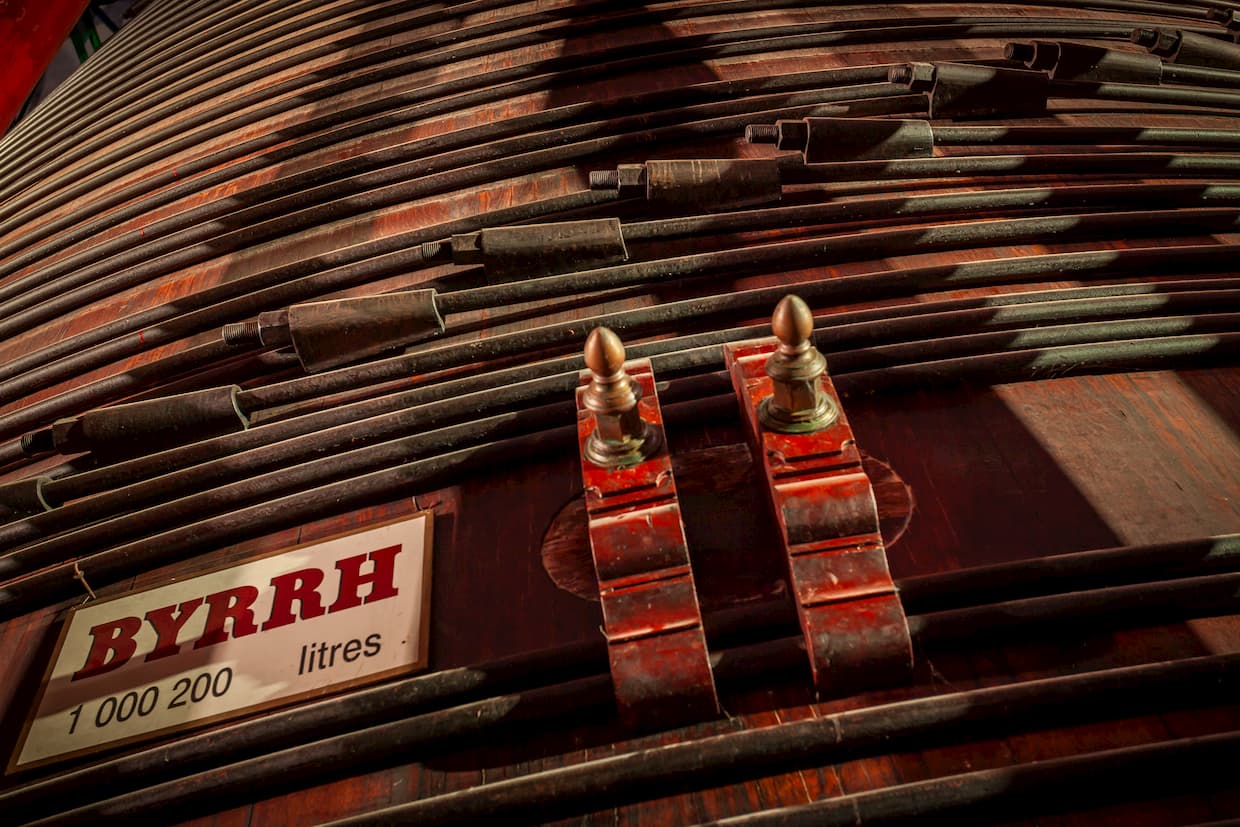
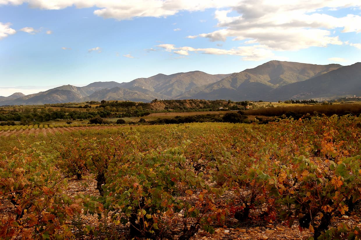
- Plaine des Aspres, 45 km et 470m of elevation gain Côtes du Roussillon & "wine route" on the menu ... A terroir stroll strolling through the vineyards: Ponteilla, Trouillas, Villemolaque, Banyuls des Aspres, Tresserre, Passa, Fourques, Terrats, Ste Colombe, Thuir and its Byrrh cellars at the most large oak vat of the world! |
 |
 |
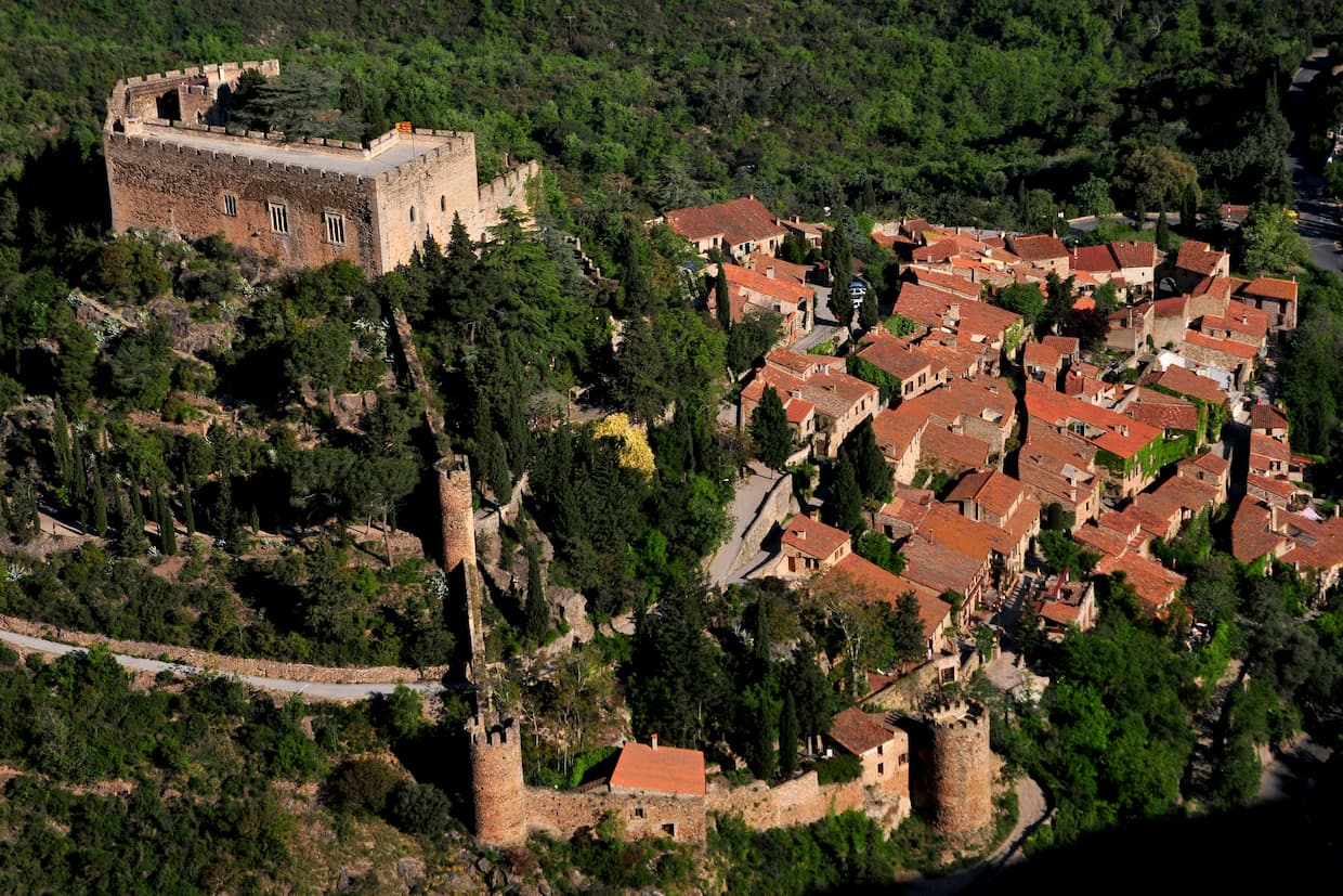
- Between Plain & Mountain, 45 km et 820m of elevation gain Our hinterland within reach of the lambda cyclo: that's the concept here, with a gradual ascent of 10 km to the foot of the Church of Fontcouverte. So just one big climb, which then falls back at the bend of a bend on the fortified jewel of Castelnou |
|
- The Cols des Aspres, 65 km et 1295 m of elevation gain Départure : Thuir Difficulty : **** A progression through the vineyard, a scent of Australia thanks to the eucalyptus of the Réart forest, then this Col du Fourtou to climb… A classic of the Aspres: steep at the start, before a long climb in successive stages to the coast 646 m life-saving! |
 |
 |
- Discover Haut-Vallespir, 95 km et 2200m of elevation gain We could also call it the beautiful stones circuit as this trip on these small wild roads is full of Romanesque beauties: Castelnou, Notre Dame Del Coll, Notre Dame de la Roure, chapels of Foncouverte, de la Trinité ... When cycling rhymes with heritage! |
|
- From the Côte Vermeille to l’Alt Empordà, 129 km et 1516m of elevation gain On the way to the coves and cliffs of the Côte Vermeille then the Costa Brava where the coastal villages of Portbou, Colera and Llançà nestle. The return journey crosses the hilly slopes of the Alt Empordà, culminating in the Perthus gap to cross, a place steeped in history. |
 |
 |
- Plaine du Roussillon, 105 km et 782m of elevation gain |
|
- From the Massif des Albères to the côte Radieuse, 86 km et 559m of elevation gain When the foothills of the Albères marry the sandy beaches of Roussillon ... A hilly start that will then give pride of place to riders who love the "big plate", all lit by the Etang de Canet ... if the Tramontane lady wants to stay quiet ... |
 |
 |
- The Piémont of the Massif des Albères, 35 km et 257m of elevation gain |
|
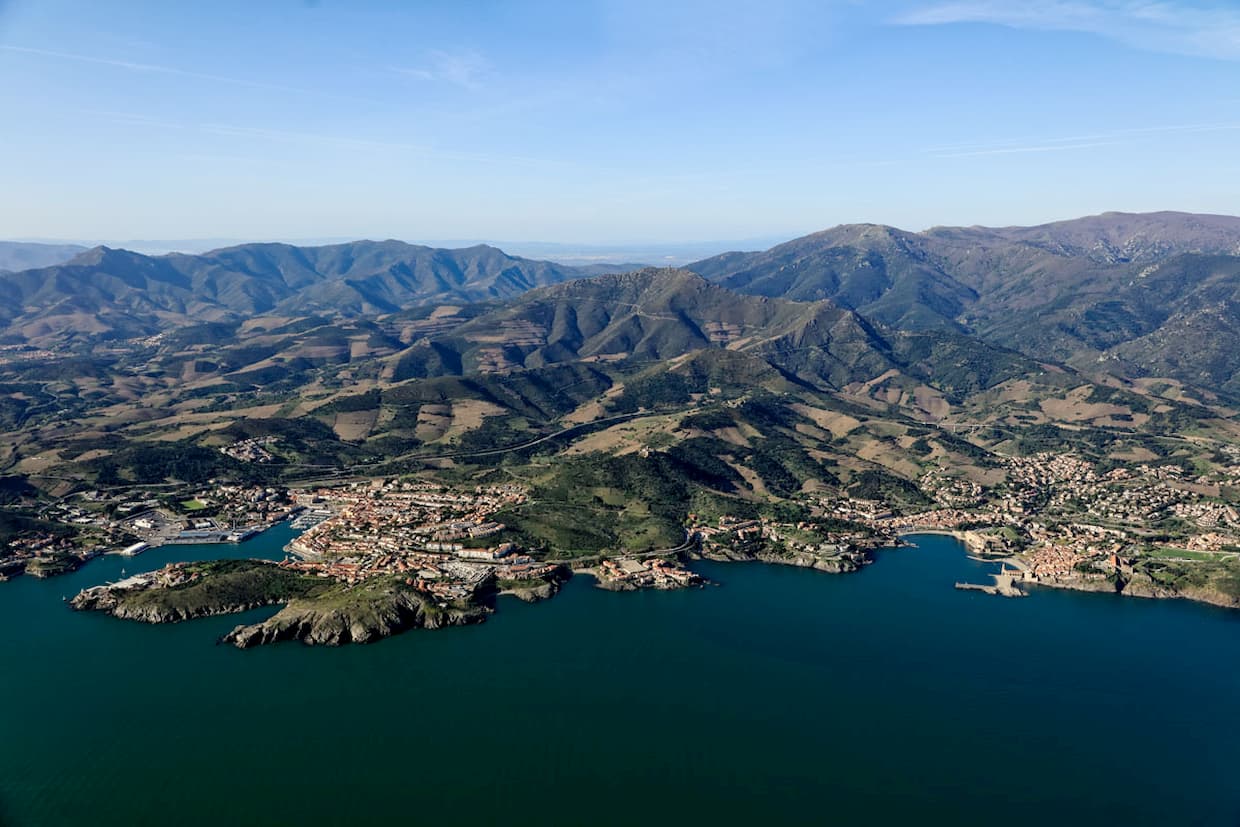
- Massif of Albères Côte Vermeille Illibéris, 89 km et 1175m of elevation gain 3 very distinct parts make up the itinerary. A loop in the plain and the ancient Elne, the steep climb of Madeloc then the beautiful ledge road where Banyuls-sur-mer, Port-Vendres and Collioure shine. Splendid but rather painful this maritime return ... |
 |
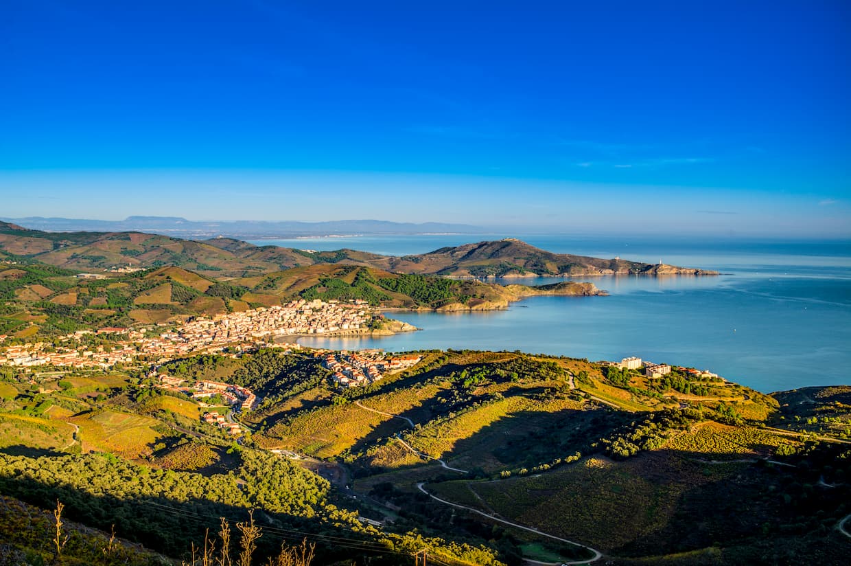 |
- The balconies of the Côte Vermeille, 77 km et 1522m of elevation gain With Argelès-sur-mer as your base camp, you don't have to go very far to find percentage and narrow ramps on the side of the wall. It is just above that it happens, on the peak in the background capped by the Tour de Madeloc. Big drooling and guaranteed thrills! |
|
- The Vallespir plains, 22 km et 217 m of elevation gain We combine the useful with the pleasant by going by bike to discover the charming village of Céret called "the Mecca of Cubism". In addition to its Museum of Modern Art, its early cherries, its Saturday market, it will offer you 600 meters of paving stones worthy of Paris Roubaix! |
 |
 |
- The Pic of Néoulous, 65 km et 1600 m of elevation gain, This is our Mont Ventoux Catalan! A lighthouse at the end of the Pyrenean chain which dominates the sea, from the beaches of Roussillon to the Bay of Rosas. And as in Ventoux, the immense panorama which is offered to you at the top, is gained with the pedal for 15 kms and its final on the ramps at 10% |
|
- Between Aspres and Vallespir, 68 km et 1500 m of elevation gain, Here is the "Route du Liège" punctuated by these unique oaks ... On the coast of Vivès comes the Col de Llauro, the Hermitage St Ferréol, the Liège Museum of Maureillas. The only plant hiatus: the chestnut trees which shelter the big climb of the day (Col de la Brousse). |
 |
 |
- At the door of Haut Vallespir, 80 km et 1680 m of elevation gain, After a warm-up around Reynès, you will go through two difficulties well known to local cyclists. First the steep hill of Montbolo, then the more indulgent one of Taillet, all in a very "southern" setting between pine forests, chestnut trees and cork oaks. |
|
- Buttress of Aspres, 85 km et 1485 m of elevation gain, From the capital of Aspres, Thuir or the spa resort of Boulou, in Vallespir, this route will allow you to connect the two large valleys, Tech (via the coasts of Vivès then Fontcouverte) to that of Têt and its orchards of Bas-Conflent. Note in the last third of the course this beautiful technical descent plunging into Saint-Michel-de-Llotes. |
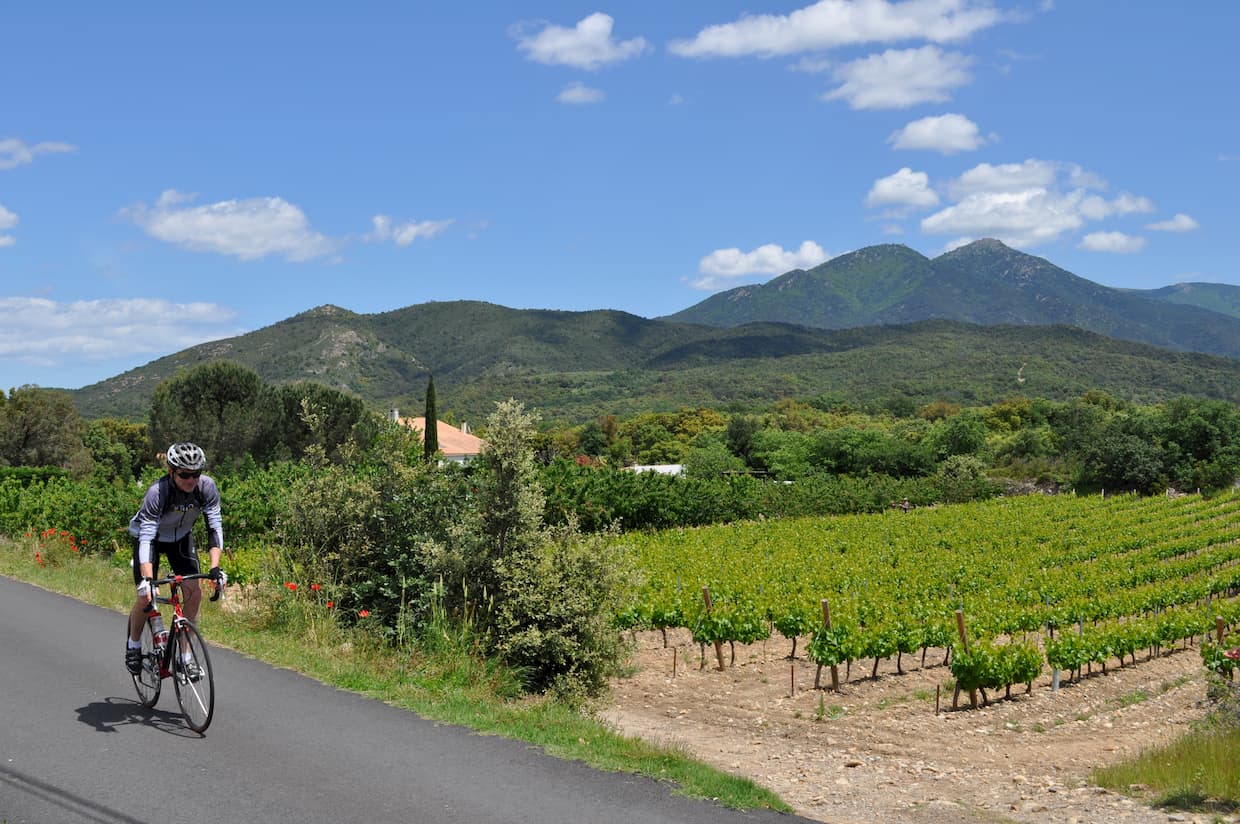 |
photo credits : OTI du Vallespir / Thomas Aniès / Alain Le Yaouanq / Laurent Lacombe / OTI Aspres-Thuir / Blue Béar / OT Amélie-les-Bains / Frédéric Hedellin / OT Argeles-sur-mer / Corinne Ricard
Security recommendations
Respect the highway code,
Wear a helmet,
Drive to the right,
Don't leave without money,
Look behind and reach out to change direction,
Be constantly vigilant,
Leave with water, energy bars,
Take the repair kit,
Have your address and phone with you,
Stay correct in all circumstances,
Make sure by taking the FFC cyclosportive license
In summer: Leave early to avoid heavy traffic and hot weather and find out about the level of the fire risk (road accesses may be closed) https://www.prevention-incendie66.com
Information points
- Amélie-les-Bains Tourist Office
+33 (0)4 68 39 01 98 - http://www.amelie-les-bains.com
- Intercommunal tourist office of Vallespir - 5 rue Saint Ferréol - 66400 Céret
+33 (0)4 68 87 00 53 / accueiltourisme@vallespir.com / http://www.vallespir-tourisme.fr
- Argelès-sur-Mer Tourist Office
+33 (0)4 68 81 15 85 - http://www.argeles-sur-mer.com
- Intercommunal tourist office Aspres – Thuir
+33 (0)4 68 53 45 86 – http://www.aspres-thuir.com
- Banyuls-sur-Mer Tourist Office
+33 (0)4 68 88 31 58 - http://www.banyuls-sur-mer.com/fr
- Le Boulou Tourist Office
+33 (0)4 68 87 50 95 - http://www.tourisme-leboulou.fr
- Centre de Pleine Nature Sud Canigo
+33 (0)4 68 39 37 82 - https://www.centresudcanigo.com
- Intercommunal tourist office Pyrénées Méditerranée
+33 (0)4 48 98 00 08 – http://www.tourisme-pyrenees-mediterranee.com
USEFUL INFORMATION
Electric bicycle rental
With the rental of electric bikes at the Amélie-les-Bains Palalda Tourist Office, the Pyrenees no longer have coastlines!
The Tourist Office labeled Accueil Vélo offers electric bike rental. Thanks to our partners En Roue Libre and the Aloha campsite.
We offer a variety of options, ranging from a simple half-day to your entire spa stay.
Information

Tourist an spa Office
of Amélie-les-Bains Palalda
Quai du 8 mai 1945
Phone : +33 (0)4 68 39 01 98
amelielesbains@vallespircanigo.com

17 boulevard du Dr Bouix
Phone : +33 (0)6 21 28 35 69

Camping Aloha
B-P 3 Amélie-les-bains
Phone : +33(0)4 68 39 43 12
Guided electric mountain bike outings
Aloha Aventure in Reynés Discover our tracks and trails with your guide for the day for a half-day on an electric mountain bike. Accessible to the whole family, each at their own pace!
Level 1 to 3 - Different starting points in Vallespir
Min height: 1m45
From : 40€/person
Departure every Saturday, or during the week on request
Registration : +33 (0)4 68 39 43 12

